Fresno State Library
Library GIS Collaborations
One of the benefits of offering GIS services through the library is that it gives us a chance to work with our campus community providing advice and technical support for researchers.
IMPORTANT: These applications run on Esri's ArcGIS Online platform products. Esri is committed to empowering their customers with each product release; ensuring the functionality is readily available to all users and compliant with Section 508, WCAG, and ADA. For more information on accessibility, you can read their Accessibility Conformance Reports.
Learn More About Past Collaborations
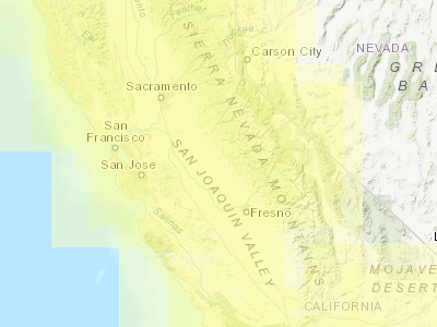
Map and Aerial Locator Tool (MALT)
MALT is a spatially enabled web based application to search for maps and historical aerials in the Fresno State Library.
NOTE: This application is best running in Firefox or Google Chrome browsers.
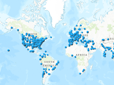
Fresno State Worldwide Collaboration Dashboard 2014-2020
An interactive map shows Fresno State faculty worldwide collaborations.
Venture into the Dashboard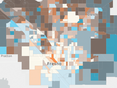
Income vs College Degree in Fresno/Clovis
An interactive map shows the relationship between median household income and the numbers of bachelor's degree within Cities of Fresno and Clovis Sphere of Influence at Census block group level.
Probe the Income vs College Degree Comparison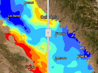
SJV Depth to Groundwater
An interactive map shows the depth to ground water from 1970 to current water year, in the San Joaquin Valley. A swipe tool that can be used to compare two different years of depth to ground water.
Explore the Changes in Groundwater Depths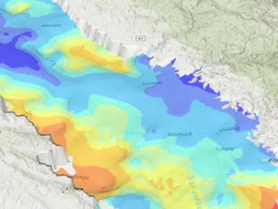
2021 Depth to Groundwater in 3D
A three-dimensional representation of depth to groundwater for the single year of 2021. This product uses technology (WebGL) found in the latest versions of Chrome and Firefox desktop browsers--but it is not supported on mobile devices.
Scrutinize Groundwater Depth in 3D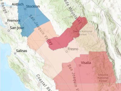
SJV Indicators
A dashboard showing a number of "indicators" across the seven counties of the San Joaquin Valley.
Reference the SJV Indicators